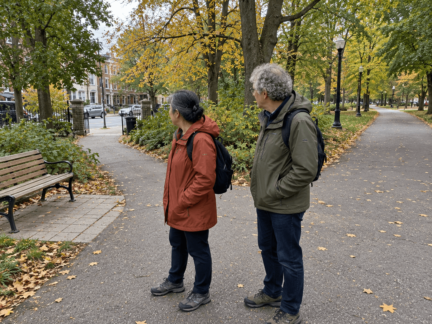
The shortest line on a map is not always the easiest walk. A steep entrance, an unpaved section or a long distance between exits can matter more than the total length. Start with a route you can comfortably change, including an ordinary way to turn back.
Choose the actual entrance.
Check where you will enter, how you will get there and where the return journey begins. A large green shape on a map may have several entrances with very different approaches. A nearby transit stop is useful only if the path from it works for you.
For a first visit, you could plan to walk from a known entrance to a nearby feature and return the same way. It is easy to understand and gives you a familiar route back. A complete circuit is another option when you know its length and conditions; it does not earn extra credit simply for being a loop.
Look for the details that affect your pace.
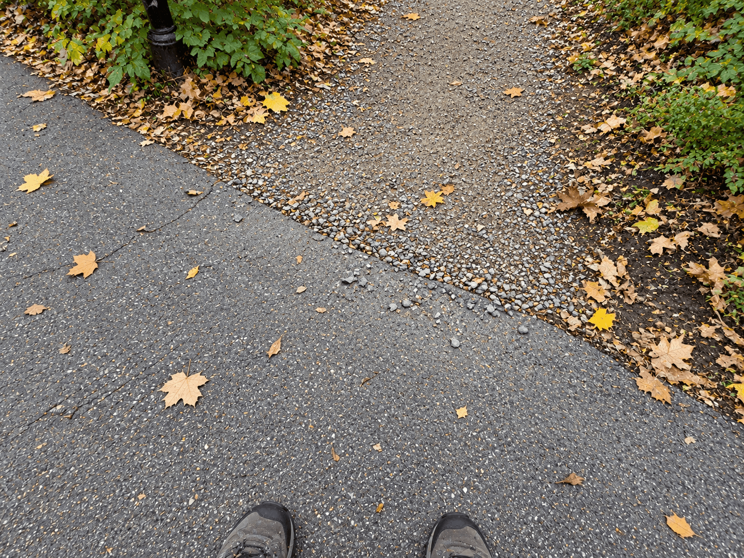
Toronto's park and trail wayfinding information describes signs that can show distances, features and accessibility barriers. Multi-use trail signs can include slope, width and surface information. The system is being introduced across locations, so do not assume every entrance has the same map or signs.
Check current notices for the particular park or trail. A route description from a previous season cannot tell you whether a section is closed today. If you use a mobility device or have a specific access need, look for the exact surface and entrance details rather than relying on the word "easy."
Decide where you can stop or turn.
Before setting off with someone, agree what the small version of the outing looks like: "We can go as far as the first bench, then decide." Choose a visible, known point rather than a time estimate that assumes you both walk at the same pace.
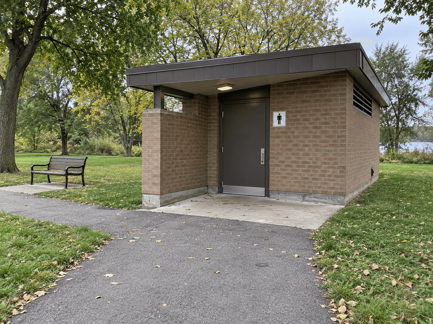
If seating or a washroom is important to the plan, check it specifically. A bench shown in an old photograph may be occupied; a seasonal building may be shut. Bring what you normally need for the conditions and choose a route with an alternative that does not depend on one facility.
On the day, let the actual path make the final decision. A diversion, slippery section or more tiring journey than expected can be a reason to shorten the walk. You can enjoy the part that works without finishing the shape you drew at home.
Notes & citations
Article details
- Published